
Thank you for supporting this site ❤️
Make a donation
Make a donation
Kujangjaya topographic map
Click on the map to display elevation.
Thank you for supporting this site ❤️
Make a donation
Make a donation
About this map
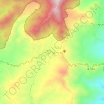
Name: Kujangjaya topographic map, elevation, terrain.
Location: Kujangjaya, Lebak, Java, Indonesia (-6.83541 106.38552 -6.79541 106.42552)
Average elevation: 822 m
Minimum elevation: 523 m
Maximum elevation: 1,119 m
Thank you for supporting this site ❤️
Make a donation
Make a donation
Other topographic maps
Click on a map to view its topography, its elevation and its terrain.