
Make a donation
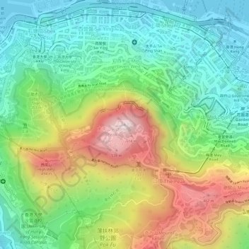
Victoria Peak topographic map
Click on the map to display elevation.
Make a donation
Victoria Peak
Victoria Peak is a hill on the western half of Hong Kong Island. It is also known as Mount Austin, and locally as The Peak. With an elevation of 552 metres (1,811 ft), it is the highest hill in Hong Kong island, ranked 29 in terms of elevation in Hong Kong (Tai Mo Shan is the highest point in Hong Kong with an elevation of 957 metres (3,140 ft). Mount Austin, with an elevation of 552 metres (1,811 ft), is the main peak which is named as The Peak or Victoria Peak in any maps. In a broad sense, Victoria Peak included its main peak Mount Austin, Victoria Gap, Mount Kellett and Mount Gough, which are also a part of The Peak.
Make a donation
About this map
Name: Victoria Peak topographic map, elevation, terrain.
Location: Victoria Peak, Hong Kong Island, Hong Kong, 000000, China (22.27599 114.14541 22.27609 114.14551)
Average elevation: 209 m
Minimum elevation: -2 m
Maximum elevation: 534 m
Make a donation