
Oued Athmania topographic map
Interactive map
Click on the map to display elevation.
About this map
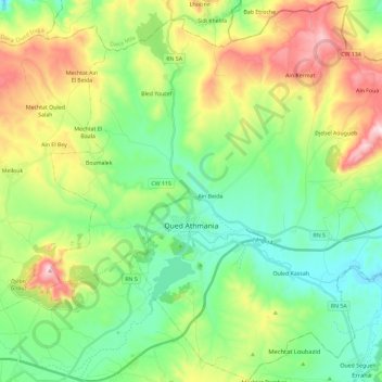
Name: Oued Athmania topographic map, elevation, terrain.
Location: Oued Athmania, Chelghoum Laid District, Mila, Algeria (36.17375 6.20169 36.35887 6.43366)
Average elevation: 832 m
Minimum elevation: 650 m
Maximum elevation: 1,201 m