
Charterhall topographic map
Interactive map
Click on the map to display elevation.
About this map
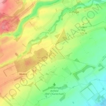
Name: Charterhall topographic map, elevation, terrain.
Location: Charterhall, Scottish Borders, Écosse, TD11 3RE, Royaume-Uni (55.69930 -2.39928 55.73930 -2.35928)
Average elevation: 117 m
Minimum elevation: 67 m
Maximum elevation: 182 m