
Aermighorn topographic map
Interactive map
Click on the map to display elevation.
About this map
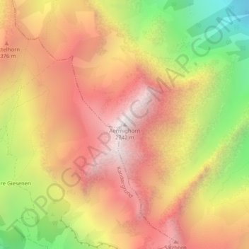
Name: Aermighorn topographic map, elevation, terrain.
Average elevation: 2,126 m
Minimum elevation: 1,308 m
Maximum elevation: 2,716 m
Other topographic maps
Click on a map to view its topography, its elevation and its terrain.
Kiental
Suisse > Berne > Arrondissement administratif de Frutigen-Bas-Simmental > Reichenbach im Kandertal
Kiental, Reichenbach im Kandertal, Arrondissement administratif de Frutigen-Bas-Simmental, Région administrative de l'Oberland, Berne, 3723, Suisse
Average elevation: 1,363 m