
Pedriceña topographic map
Interactive map
Click on the map to display elevation.
About this map
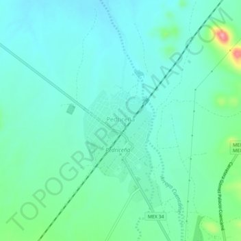
Name: Pedriceña topographic map, elevation, terrain.
Location: Pedriceña, Cuencamé, Durango, México (25.10003 -103.80965 25.14003 -103.76965)
Average elevation: 1,313 m
Minimum elevation: 1,286 m
Maximum elevation: 1,415 m