
Johannsbüchel topographic map
Interactive map
Click on the map to display elevation.
About this map
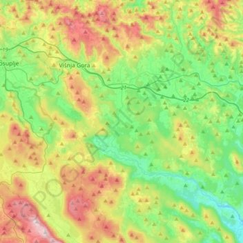
Name: Johannsbüchel topographic map, elevation, terrain.
Location: Johannsbüchel, Zentralslowenien, Slowenien (45.79541 14.70494 46.01306 14.92494)
Average elevation: 431 m
Minimum elevation: 187 m
Maximum elevation: 870 m