
Thank you for supporting this site ❤️
Make a donation
Make a donation
Raithaslach topographic map
Click on the map to display elevation.
Thank you for supporting this site ❤️
Make a donation
Make a donation
About this map
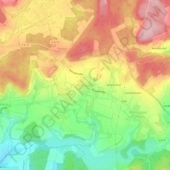
Name: Raithaslach topographic map, elevation, terrain.
Average elevation: 597 m
Minimum elevation: 504 m
Maximum elevation: 686 m
Thank you for supporting this site ❤️
Make a donation
Make a donation
Other topographic maps
Click on a map to view its topography, its elevation and its terrain.
Wahlwies
Deutschland > Baden-Württemberg > Landkreis Konstanz > Stockach
Oberhalb der Leonhardstraße, bei Flusskilometer 8,482, befindet sich der Pegel Wahlwies / Stockacher Aach der Hochwasser-Vorhersage-Zentrale Baden-Württemberg und der Landesanstalt für Umwelt, Messungen und Naturschutz Baden-Württemberg (LUBW); Betreiber ist das Regierungspräsidium Freiburg, die…
Average elevation: 467 m
Thank you for supporting this site ❤️
Make a donation
Make a donation