
男体山 topographic map
Interactive map
Click on the map to display elevation.
About this map
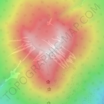
Name: 男体山 topographic map, elevation, terrain.
Location: 男体山, Nikkō, Préfecture de Tochigi, Kantō, Japon (36.76503 139.49070 36.76513 139.49080)
Average elevation: 1,985 m
Minimum elevation: 1,308 m
Maximum elevation: 2,468 m