
Make a donation
Ghazir topographic map
Click on the map to display elevation.
Make a donation
Ghazir
Ghazir (Arabic: غزير) is a town and municipality in the Keserwan District of the Keserwan-Jbeil Governorate of Lebanon. It is located 27 kilometres (17 mi) north of Beirut. It has an average elevation of 380 meters above sea level and a total land area of 542 hectares (2.09 sq mi). The town has four schools, two public and two private, with a total of 3,253 students as of 2008. Ghazir's name is derived from Arabic root words for "heavy rains", and the town is known for its numerous groundwater reserves. Ghazir is divided into three major parts: Ghazir el-Fawka, Central Ghazir, and Kfarhbab. The inhabitants of Ghazir are predominantly Maronite Catholics.
Make a donation
About this map
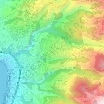
Name: Ghazir topographic map, elevation, terrain.
Average elevation: 359 m
Minimum elevation: 0 m
Maximum elevation: 931 m
Make a donation