
Taranagara topographic map
Interactive map
Click on the map to display elevation.
About this map
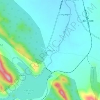
Name: Taranagara topographic map, elevation, terrain.
Location: Taranagara, Sanduru taluk, Bellary district, Karnataka, India (15.11170 76.58663 15.15170 76.62663)
Average elevation: 560 m
Minimum elevation: 506 m
Maximum elevation: 805 m