
Thank you for supporting this site ❤️
Make a donation
Make a donation
Krekel topographic map
Click on the map to display elevation.
Thank you for supporting this site ❤️
Make a donation
Make a donation
About this map
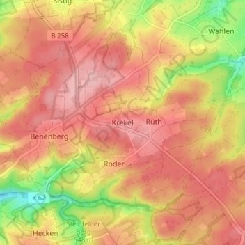
Name: Krekel topographic map, elevation, terrain.
Location: Krekel, Kall, Kreis Euskirchen, Noordrijn-Westfalen, Duitsland (50.45141 6.51320 50.49141 6.55320)
Average elevation: 558 m
Minimum elevation: 470 m
Maximum elevation: 606 m
Thank you for supporting this site ❤️
Make a donation
Make a donation