
Tarn Taran topographic map
Interactive map
Click on the map to display elevation.
About this map
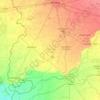
Name: Tarn Taran topographic map, elevation, terrain.
Location: Tarn Taran, Punjab, Indien (31.08136 74.50992 31.56905 75.27109)
Average elevation: 218 m
Minimum elevation: 195 m
Maximum elevation: 243 m
Other topographic maps
Click on a map to view its topography, its elevation and its terrain.