
Thank you for supporting this site ❤️
Make a donation
Make a donation
Sprewell Bluff topographic map
Click on the map to display elevation.
Thank you for supporting this site ❤️
Make a donation
Make a donation
About this map
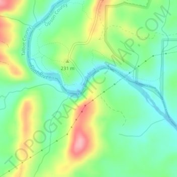
Name: Sprewell Bluff topographic map, elevation, terrain.
Location: Sprewell Bluff, Talbot County, Georgia, United States (32.85286 -84.47942 32.85296 -84.47932)
Average elevation: 206 m
Minimum elevation: 162 m
Maximum elevation: 285 m
Thank you for supporting this site ❤️
Make a donation
Make a donation
Other topographic maps
Click on a map to view its topography, its elevation and its terrain.