
Egleton topographic map
Interactive map
Click on the map to display elevation.
About this map
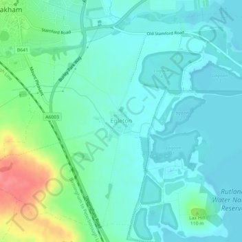
Name: Egleton topographic map, elevation, terrain.
Location: Egleton, Rutland, Angleterre, Royaume-Uni (52.64543 -0.73078 52.66897 -0.69540)
Average elevation: 97 m
Minimum elevation: 80 m
Maximum elevation: 154 m