
Mandial topographic map
Interactive map
Click on the map to display elevation.
About this map
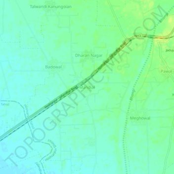
Name: Mandial topographic map, elevation, terrain.
Location: Mandial, Hoshiarpur, Punjab, India (31.45459 75.77644 31.49459 75.81644)
Average elevation: 260 m
Minimum elevation: 253 m
Maximum elevation: 271 m