
Campinas topographic map
Click on the map to display elevation.
Campinas
This water tower was built between 1936 and 1940 in the highest altitude point inside the urban area, 735 meters above sea level. From its gazebo on the top, one can enjoy a wide panorama view of the city.
About this map
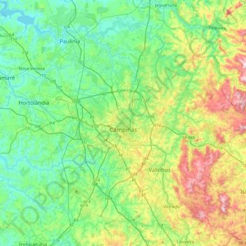
Name: Campinas topographic map, elevation, terrain.
Average elevation: 666 m
Minimum elevation: 528 m
Maximum elevation: 1,017 m