
Playa Grande topographic map
Interactive map
Click on the map to display elevation.
About this map
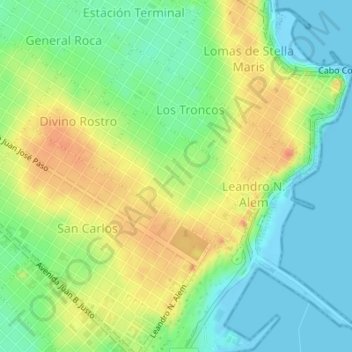
Name: Playa Grande topographic map, elevation, terrain.
Average elevation: 23 m
Minimum elevation: -6 m
Maximum elevation: 55 m
Other topographic maps
Click on a map to view its topography, its elevation and its terrain.
Cerrito Sur
Argentina > Buenos Aires > Mar del Plata
Cerrito Sur, Mar del Plata, Partido de General Pueyrredón, Buenos Aires, Argentina
Average elevation: 27 m