
Ravet topographic map
Click on the map to display elevation.
About this map
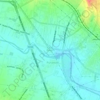
Name: Ravet topographic map, elevation, terrain.
Location: Ravet, Haveli, Maharashtra, 412101, India (18.62327 73.72506 18.66327 73.76506)
Average elevation: 576 m
Minimum elevation: 559 m
Maximum elevation: 636 m