
Krima topographic map
Interactive map
Click on the map to display elevation.
About this map
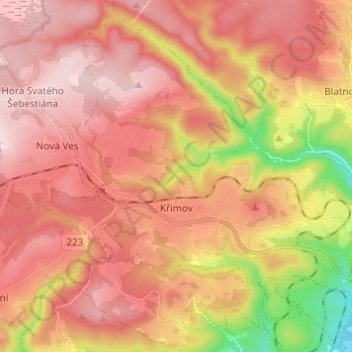
Name: Krima topographic map, elevation, terrain.
Location: Krima, Bezirk Komotau, Aussiger Region, Nordwesten, Tschechien (50.45836 13.25568 50.52779 13.37790)
Average elevation: 696 m
Minimum elevation: 410 m
Maximum elevation: 871 m