
Thank you for supporting this site ❤️
Make a donation
Make a donation
Oceola Township topographic map
Click on the map to display elevation.
Thank you for supporting this site ❤️
Make a donation
Make a donation
About this map
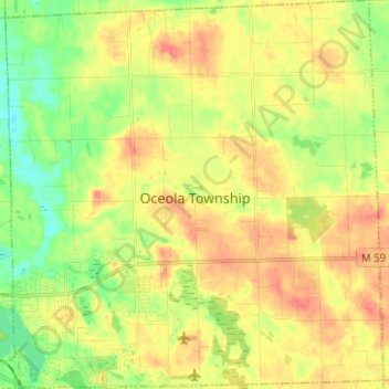
Name: Oceola Township topographic map, elevation, terrain.
Location: Oceola Township, Livingston County, Michigan, United States (42.60023 -83.91737 42.69199 -83.79588)
Average elevation: 294 m
Minimum elevation: 264 m
Maximum elevation: 323 m
Thank you for supporting this site ❤️
Make a donation
Make a donation