
Thank you for supporting this site ❤️
Make a donation
Make a donation
Rum Jungle topographic map
Click on the map to display elevation.
Thank you for supporting this site ❤️
Make a donation
Make a donation
About this map
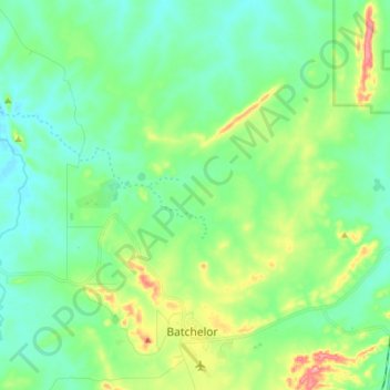
Name: Rum Jungle topographic map, elevation, terrain.
Location: Rum Jungle, Coomalie Shire, Northern Territory, Australia (-13.05041 130.94552 -12.93898 131.09840)
Average elevation: 79 m
Minimum elevation: 45 m
Maximum elevation: 174 m
Thank you for supporting this site ❤️
Make a donation
Make a donation
Other topographic maps
Click on a map to view its topography, its elevation and its terrain.