
Post topographic map
Interactive map
Click on the map to display elevation.
About this map
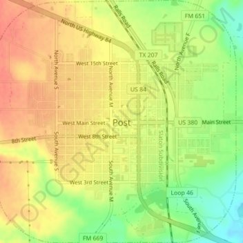
Name: Post topographic map, elevation, terrain.
Location: Post, Garza County, Texas, États-Unis d'Amérique (33.17645 -101.39875 33.20565 -101.36421)
Average elevation: 793 m
Minimum elevation: 763 m
Maximum elevation: 812 m