
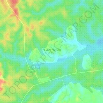
FELDA Neram 1 topographic map
Interactive map
Click on the map to display elevation.
About this map
Name: FELDA Neram 1 topographic map, elevation, terrain.
Location: FELDA Neram 1, Kemaman District, Terengganu, Malaysia (3.99119 103.25402 4.03119 103.29402)
Average elevation: 39 m
Minimum elevation: 16 m
Maximum elevation: 77 m