
Thank you for supporting this site ❤️
Make a donation
Make a donation
Town of Hancock topographic map
Click on the map to display elevation.
Thank you for supporting this site ❤️
Make a donation
Make a donation
About this map
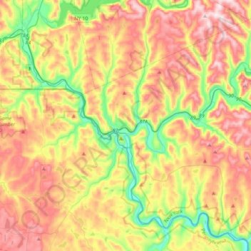
Name: Town of Hancock topographic map, elevation, terrain.
Location: Town of Hancock, Delaware County, New York, United States (41.84830 -75.34235 42.07597 -74.99888)
Average elevation: 476 m
Minimum elevation: 237 m
Maximum elevation: 737 m
Thank you for supporting this site ❤️
Make a donation
Make a donation
Other topographic maps
Click on a map to view its topography, its elevation and its terrain.
Thank you for supporting this site ❤️
Make a donation
Make a donation
Thank you for supporting this site ❤️
Make a donation
Make a donation