
Maysville topographic map
Interactive map
Click on the map to display elevation.
About this map
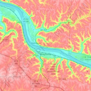
Name: Maysville topographic map, elevation, terrain.
Location: Maysville, Mason County, Kentucky, 41056, United States (38.59269 -83.83998 38.71192 -83.71797)
Average elevation: 236 m
Minimum elevation: 147 m
Maximum elevation: 292 m
Other topographic maps
Click on a map to view its topography, its elevation and its terrain.
Plumville
United States > Kentucky > Mason County
Plumville, Mason County, Kentucky, United States
Average elevation: 247 m