
Manjo topographic map
Interactive map
Click on the map to display elevation.
About this map
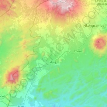
Name: Manjo topographic map, elevation, terrain.
Location: Manjo, Moungo, Littoral, Cameroun (4.71903 9.70375 5.02518 9.87048)
Average elevation: 812 m
Minimum elevation: 173 m
Maximum elevation: 2,366 m