
Thank you for supporting this site ❤️
Make a donation
Make a donation
Elles topographic map
Click on the map to display elevation.
Thank you for supporting this site ❤️
Make a donation
Make a donation
About this map
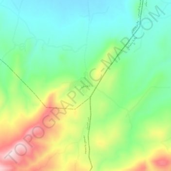
Name: Elles topographic map, elevation, terrain.
Location: Elles, اللاس, معتمدية السرس, Al Kaf, 7180, Tunisia (35.92861 9.07699 35.96861 9.11699)
Average elevation: 717 m
Minimum elevation: 593 m
Maximum elevation: 938 m
Thank you for supporting this site ❤️
Make a donation
Make a donation