
Nuremberg topographic map
Interactive map
Click on the map to display elevation.
About this map
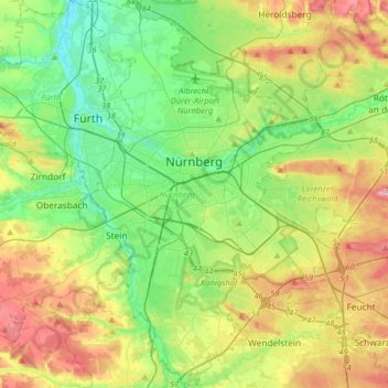
Name: Nuremberg topographic map, elevation, terrain.
Location: Nuremberg, Bavière, Allemagne (49.33143 10.98873 49.54075 11.28260)
Average elevation: 336 m
Minimum elevation: 279 m
Maximum elevation: 437 m