
Matosinhos topographic map
Interactive map
Click on the map to display elevation.
About this map
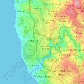
Name: Matosinhos topographic map, elevation, terrain.
Location: Matosinhos, Porto, Nord, Portugal (41.17149 -8.72916 41.27311 -8.59545)
Average elevation: 44 m
Minimum elevation: -3 m
Maximum elevation: 145 m