
Chirivel topographic map
Interactive map
Click on the map to display elevation.
About this map
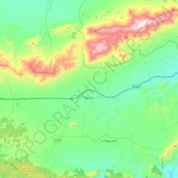
Name: Chirivel topographic map, elevation, terrain.
Location: Chirivel, Los Vélez, Almería, Andalucía, 04825, España (37.53834 -2.39127 37.67213 -2.15338)
Average elevation: 1,205 m
Minimum elevation: 853 m
Maximum elevation: 2,043 m