
Thank you for supporting this site ❤️
Make a donation
Make a donation
La Libertad topographic map
Click on the map to display elevation.
Thank you for supporting this site ❤️
Make a donation
Make a donation
About this map
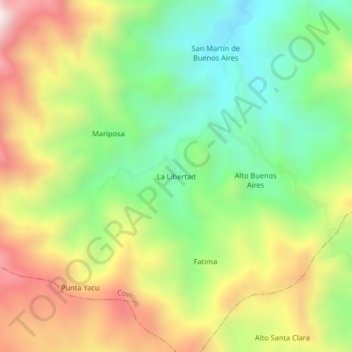
Name: La Libertad topographic map, elevation, terrain.
Location: La Libertad, Coviriali, Satipo, Junín, Perú (-11.37421 -74.65466 -11.33421 -74.61466)
Average elevation: 1,203 m
Minimum elevation: 843 m
Maximum elevation: 1,683 m
Thank you for supporting this site ❤️
Make a donation
Make a donation