
Jever topographic map
Interactive map
Click on the map to display elevation.
About this map
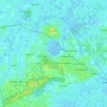
Name: Jever topographic map, elevation, terrain.
Location: Jever, Landkreis Friesland, Nedersaksen, 26441, Duitsland (53.50094 7.81521 53.60284 7.95296)
Average elevation: 3 m
Minimum elevation: -4 m
Maximum elevation: 13 m