
Westergate topographic map
Interactive map
Click on the map to display elevation.
About this map
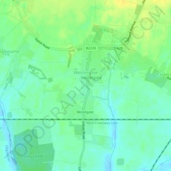
Name: Westergate topographic map, elevation, terrain.
Location: Westergate, West Sussex, South East, Angleterre, Royaume-Uni (50.82680 -0.67972 50.84558 -0.65092)
Average elevation: 9 m
Minimum elevation: -2 m
Maximum elevation: 21 m