
Boughton Monchelsea topographic map
Interactive map
Click on the map to display elevation.
About this map
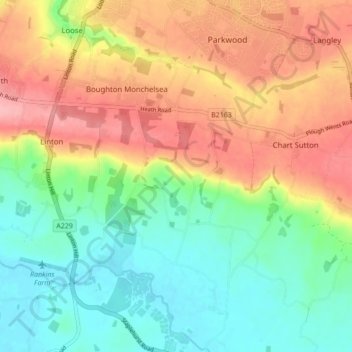
Name: Boughton Monchelsea topographic map, elevation, terrain.
Location: Boughton Monchelsea, Maidstone, Kent, England, United Kingdom (51.19175 0.52215 51.24570 0.57339)
Average elevation: 64 m
Minimum elevation: 12 m
Maximum elevation: 131 m
Other topographic maps
Click on a map to view its topography, its elevation and its terrain.
Westfield Sole
United Kingdom > England > Kent > Maidstone
Westfield Sole, Boxley, Maidstone, Kent, England, ME14 3EE, United Kingdom
Average elevation: 145 m
Yalding
United Kingdom > England > Kent > Maidstone
Yalding, Maidstone, Kent, England, United Kingdom
Average elevation: 32 m
Thurnham
United Kingdom > England > Kent > Maidstone
Thurnham, Maidstone, Kent, South East England, England, United Kingdom
Average elevation: 113 m