
Schloss Dornsberg topographic map
Interactive map
Click on the map to display elevation.
About this map
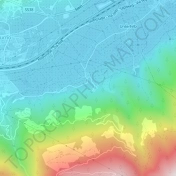
Name: Schloss Dornsberg topographic map, elevation, terrain.
Average elevation: 723 m
Minimum elevation: 509 m
Maximum elevation: 1,403 m
Other topographic maps
Click on a map to view its topography, its elevation and its terrain.
Ginzl
Italien > Trentino-Südtirol > Bozen > Naturns
Ginzl, Naturns, Burggrafenamt, Bozen, Trentino-Südtirol, 39025, Italien
Average elevation: 1,343 m