
Thank you for supporting this site ❤️
Make a donation
Make a donation
Bighorn Falls topographic map
Click on the map to display elevation.
Thank you for supporting this site ❤️
Make a donation
Make a donation
About this map
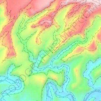
Name: Bighorn Falls topographic map, elevation, terrain.
Location: Bighorn Falls, Emery County, Utah, United States (38.70932 -111.03807 38.70942 -111.03797)
Average elevation: 1,749 m
Minimum elevation: 1,557 m
Maximum elevation: 1,989 m
Thank you for supporting this site ❤️
Make a donation
Make a donation
Other topographic maps
Click on a map to view its topography, its elevation and its terrain.