
Thank you for supporting this site ❤️
Make a donation
Make a donation
Tibbet Knob topographic map
Click on the map to display elevation.
Thank you for supporting this site ❤️
Make a donation
Make a donation
About this map
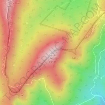
Name: Tibbet Knob topographic map, elevation, terrain.
Location: Tibbet Knob, Hardy County, West Virginia, United States (38.91459 -78.70518 38.91469 -78.70508)
Average elevation: 679 m
Minimum elevation: 427 m
Maximum elevation: 881 m
Thank you for supporting this site ❤️
Make a donation
Make a donation
Other topographic maps
Click on a map to view its topography, its elevation and its terrain.