
Thank you for supporting this site ❤️
Make a donation
Make a donation
Thengamam topographic map
Click on the map to display elevation.
Thank you for supporting this site ❤️
Make a donation
Make a donation
About this map
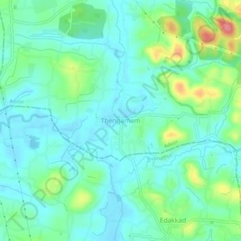
Name: Thengamam topographic map, elevation, terrain.
Location: Thengamam, Adoor, Pathanamthitta, Kerala, 960522, India (9.10167 76.63628 9.14167 76.67628)
Average elevation: 28 m
Minimum elevation: 7 m
Maximum elevation: 92 m
Thank you for supporting this site ❤️
Make a donation
Make a donation
Other topographic maps
Click on a map to view its topography, its elevation and its terrain.