
El Anasser topographic map
Interactive map
Click on the map to display elevation.
About this map
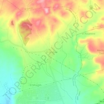
Name: El Anasser topographic map, elevation, terrain.
Location: El Anasser, Daïra Aïn Arnat, Sétif, 19017, Algérie (36.18988 5.30627 36.22988 5.34627)
Average elevation: 1,071 m
Minimum elevation: 987 m
Maximum elevation: 1,172 m