
Thank you for supporting this site ❤️
Make a donation
Make a donation
KIROKOT topographic map
Click on the map to display elevation.
Thank you for supporting this site ❤️
Make a donation
Make a donation
About this map
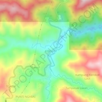
Name: KIROKOT topographic map, elevation, terrain.
Location: KIROKOT, Tambunan, Interior Division, Sabah, Malaysia (5.80321 116.47187 5.84321 116.51187)
Average elevation: 919 m
Minimum elevation: 717 m
Maximum elevation: 1,173 m
Thank you for supporting this site ❤️
Make a donation
Make a donation