
Jardín Botánico topographic map
Interactive map
Click on the map to display elevation.
About this map
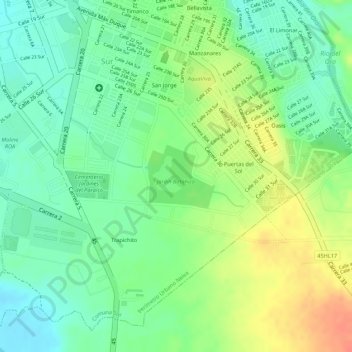
Name: Jardín Botánico topographic map, elevation, terrain.
Average elevation: 463 m
Minimum elevation: 440 m
Maximum elevation: 492 m
Other topographic maps
Click on a map to view its topography, its elevation and its terrain.
Comuna Sur
Colombia > Huila > Comuna Sur
Comuna Sur, Neiva, Huila, 0001, Colombia
Average elevation: 458 m