
Lek topographic map
Interactive map
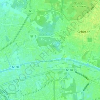
Click on the map to display elevation.
About this map
Name: Lek topographic map, elevation, terrain.
Location: Lek, Schoten, Antwerpen, Vlaanderen, 2900, België (51.22435 4.45635 51.26435 4.49635)
Average elevation: 7 m
Minimum elevation: 1 m
Maximum elevation: 12 m