
Thank you for supporting this site ❤️
Make a donation
Make a donation
Greenbelt topographic map
Click on the map to display elevation.
Thank you for supporting this site ❤️
Make a donation
Make a donation
About this map
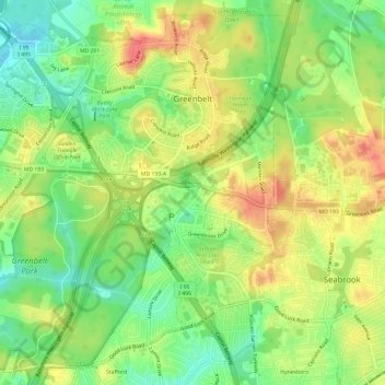
Name: Greenbelt topographic map, elevation, terrain.
Location: Greenbelt, Prince George's County, Maryland, United States (38.97187 -76.91959 39.01466 -76.86006)
Average elevation: 48 m
Minimum elevation: 18 m
Maximum elevation: 78 m
Thank you for supporting this site ❤️
Make a donation
Make a donation