
Santo Niño topographic map
Interactive map
Click on the map to display elevation.
About this map
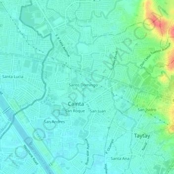
Name: Santo Niño topographic map, elevation, terrain.
Location: Santo Niño, Cainta, Rizal, Calabarzon, 1900, Philippines (14.56179 121.09899 14.60179 121.13899)
Average elevation: 13 m
Minimum elevation: -2 m
Maximum elevation: 62 m