
Thank you for supporting this site ❤️
Make a donation
Make a donation
Oberlungwitz topographic map
Click on the map to display elevation.
Thank you for supporting this site ❤️
Make a donation
Make a donation
About this map
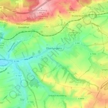
Name: Oberlungwitz topographic map, elevation, terrain.
Location: Oberlungwitz, Zwickau, Saksen, 09353, Duitsland (50.76845 12.68277 50.80390 12.77886)
Average elevation: 368 m
Minimum elevation: 291 m
Maximum elevation: 481 m
Thank you for supporting this site ❤️
Make a donation
Make a donation