
Thank you for supporting this site ❤️
Make a donation
Make a donation
Pine Top topographic map
Click on the map to display elevation.
Thank you for supporting this site ❤️
Make a donation
Make a donation
About this map
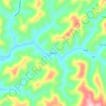
Name: Pine Top topographic map, elevation, terrain.
Location: Pine Top, Knott County, Kentucky, 41843, United States (37.25260 -82.90238 37.29260 -82.86238)
Average elevation: 426 m
Minimum elevation: 328 m
Maximum elevation: 612 m
Thank you for supporting this site ❤️
Make a donation
Make a donation
Other topographic maps
Click on a map to view its topography, its elevation and its terrain.