
Thank you for supporting this site ❤️
Make a donation
Make a donation
Gunung Bintang topographic map
Click on the map to display elevation.
Thank you for supporting this site ❤️
Make a donation
Make a donation
About this map
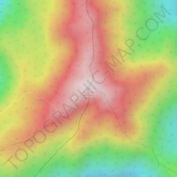
Name: Gunung Bintang topographic map, elevation, terrain.
Location: Gunung Bintang, Larut, Matang and Selama, Perak, Malaysia (5.42857 100.86622 5.42867 100.86632)
Average elevation: 1,589 m
Minimum elevation: 1,259 m
Maximum elevation: 1,832 m
Thank you for supporting this site ❤️
Make a donation
Make a donation
Other topographic maps
Click on a map to view its topography, its elevation and its terrain.