
Thank you for supporting this site ❤️
Make a donation
Make a donation
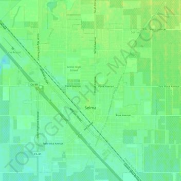
Selma topographic map
Click on the map to display elevation.
Thank you for supporting this site ❤️
Make a donation
Make a donation
Selma
Selma is a city in Fresno County, California. The population was 23,319 at the 2010 census, up from 19,240 at the 2000 census. Selma is located 16 miles (26 km) southeast of Fresno, at an elevation of 308 feet (94 m).
Thank you for supporting this site ❤️
Make a donation
Make a donation
About this map
Name: Selma topographic map, elevation, terrain.
Location: Selma, Fresno County, California, 93662, United States (36.55215 -119.64638 36.59808 -119.59119)
Average elevation: 96 m
Minimum elevation: 88 m
Maximum elevation: 102 m
Thank you for supporting this site ❤️
Make a donation
Make a donation