
Tschey topographic map
Interactive map
Click on the map to display elevation.
About this map
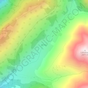
Name: Tschey topographic map, elevation, terrain.
Location: Tschey, Gemeinde Tösens, Bezirk Landeck, Tirol, Oostenrijk (46.95758 10.58508 46.98465 10.61915)
Average elevation: 1,889 m
Minimum elevation: 1,473 m
Maximum elevation: 2,463 m